
No Warnings, Watches, or Advisories

Welcome to RogersCityWeather.com
Shortcut alias for this site is rcwx.tech
bot trap


NovaLynx Gauge status: NovaLynx Rain gauge fully operational with cover off.
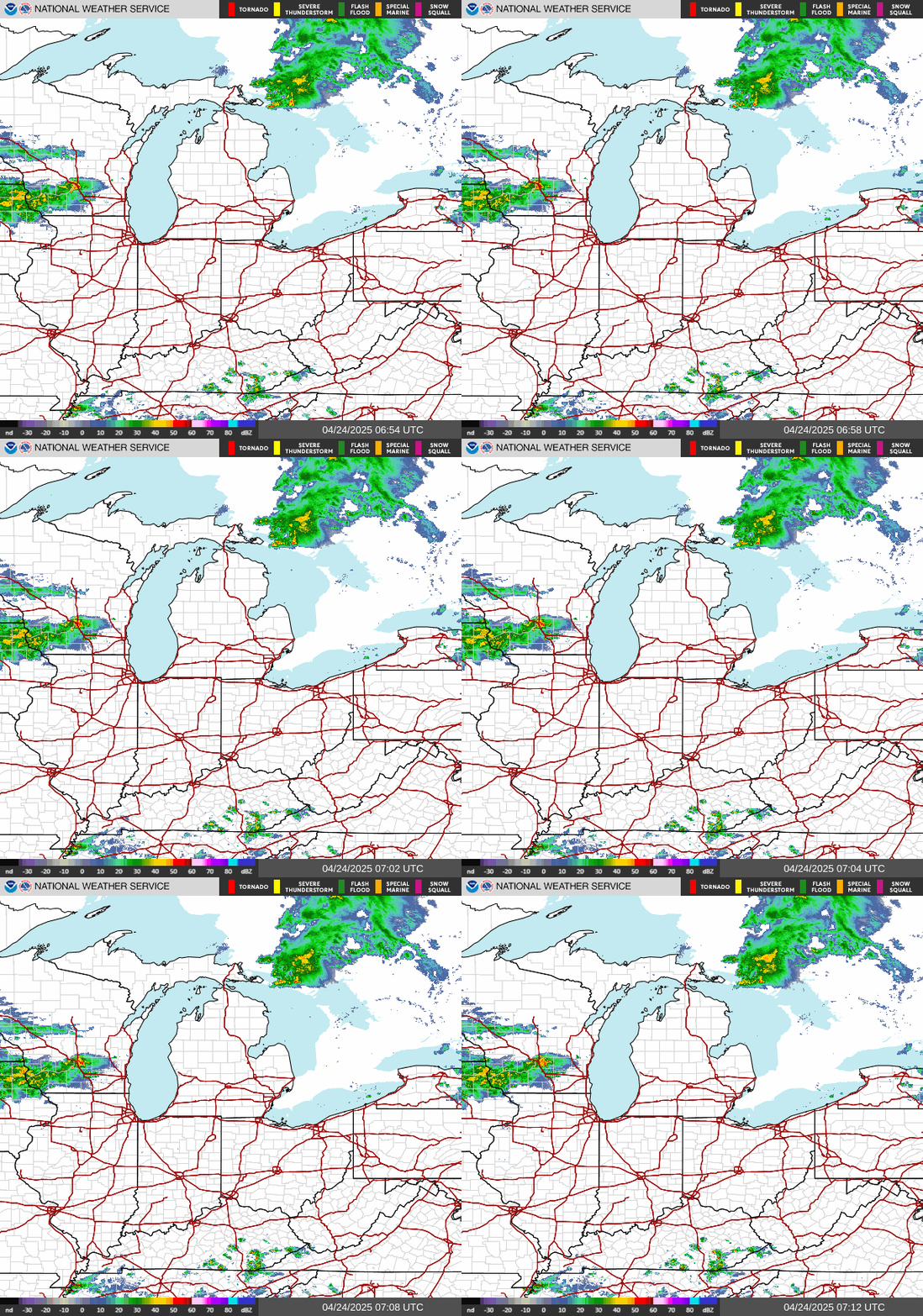
NWS Central Great Lakes Regional Radar Satellite
Radar/Satellite images courtesy of NOAA/NWS and Weather Underground.
spacer
Updated: @ 06-Nov-2026 12:28am  
Summary / Temperature Wind Rain Outlook
Light rain, Mist, Overcast Light rain, Mist, Overcast
Currently: 39.6, Max: 39.6, Min: 39.4 39.6°F
Warmer 0.2°F than last hour.

Cold

Feels like: 34°F

24-hr difference
15.1°FWarmer 15.1°F than yesterday at this time.
  Today Yesterday
High: 39.6°F
12:27am
57°F
12:01am
Low: 39.4°F
12:21am
38.8°F
10:52pm
 Wind from N N
6.9
Gust:
17 mph
2 Bft - Light breeze
Today: 17 mph 12:00am
Gust Month: 23.3 mph November 05
Rain Today: 0 in
Rain Rate (/hr): 0 in
Rain Yesterday: 0.08 in
This Month: 0.24 in
Season Total: 29.34 in
Friday

Friday: Rain Showers
Rain Showers
Humidity & Barometer Almanac Moon
Humidity: 94 %  
Dew Point: 37.9°F Increased 0.1°F since last hour.
Barometer: 29.81 inHg Rising 0.01  inHg/hr
Baro Trend: Steady
Sunrise: 7:21am
Sunset: 5:15pm
Moonrise: 4:35am
Moonset: 3:43pm
Waning Crescent
Waning Crescent, Moon at 25 days in cycle
9%
Illuminated
UV Index Solar Radiation
   0.0    None
High: 0.0 @ 12:25am
0 W/m2 (0 %)
High: 0 @  12:27am
 NWS Weather Forecast  - Outlook: Overnight & Friday
Overnight

Overnight: Rain Showers
Rain Showers

Lo 35 °F
NWS forecast: Rain showers. Cloudy. Low around 35, with temperatures rising to around 38 overnight. North wind around 15 mph, with gusts as high as 30 mph. Chance of precipitation is 90%. New rainfall amounts less than a tenth of an inch possible.
 
Friday

Friday: Rain Showers
Rain Showers

Hi 46 °F
NWS forecast: Rain showers. Cloudy. High near 46, with temperatures falling to around 44 in the afternoon. North wind around 15 mph, with gusts as high as 30 mph. Chance of precipitation is 90%. New rainfall amounts between a tenth and quarter of an inch possible.
Quick jump to forecast for the week

Michigan Storm Chasers 2025 Ice Storm Documentary


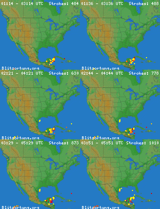
BoltCurrent Great Lakes Lightning Map From BlitzortungBolt

Michigan Lightning
Local Lightning


Smokey Bear has been removed. Please see the Mesowest map below.

Fire Danger Map

High Moisture Limitations: With PM2.5 sensors, fog reflects the light, and can result in a higher reading. This is characteristic to the inherent sensor design. The condition occurs during rainy or foggy weather, where: Outdoor Temperature - Dew point Temperature ≤ 2 ℃ 3.6 ℉

Ambient Weather PM25 Air Quality Monitor here at Station Location


Convert to AQI

We are hosting a lightning sensor for TOA Systems.